
This route takes you east around the lake. It goes via Råstorp where you can do some shopping at Gränsbygden (supermarkt / shoppingcenter) or grab a lunch or coffee with cake at Grädhyllans Lantcafé. Or you can skip these and take a shortcut via the Ängabäck water powerplant, it will shorte the route from 13 km to 10 km.

Ok let's go!
At the reception turn left and go straight ahead till you reach the railway crossing. The house on the right (see picutre below) is the old railway station of Majenfors. There was a line from Markaryd till Veinge (Laholm). Once on this place there was a double track so trains could pass each other. Nowadays the track is merely used by cargo trains, mainly to transport wood in the wintertime.
![]() Take a right, cross the railroad and turn left (note, always avoid the big road (15), its not forbidden to walk or bike there but its dangerous and not necessary).
Take a right, cross the railroad and turn left (note, always avoid the big road (15), its not forbidden to walk or bike there but its dangerous and not necessary).

![]() Follow the road and pass the lovely houses to your right. In the corner you take a left into the woods;
Follow the road and pass the lovely houses to your right. In the corner you take a left into the woods;
![]() Follow the path , underway after 200m when you are parallel to the railway, there is a little island on the other way of the railway.
Follow the path , underway after 200m when you are parallel to the railway, there is a little island on the other way of the railway.
Follow the path through the woods;

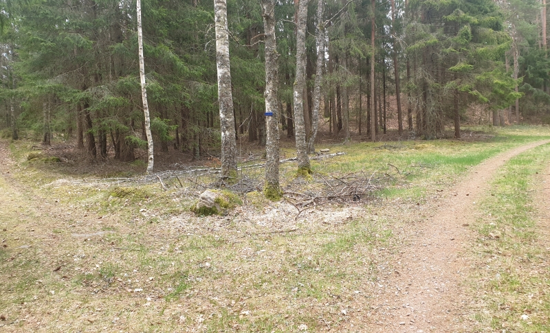
![]() When you reach the point below. Take a left here and follow the path for about 1km till you reach the (quiet) main road. We placed a small blue arrow because the road is small and its missed very easy.
When you reach the point below. Take a left here and follow the path for about 1km till you reach the (quiet) main road. We placed a small blue arrow because the road is small and its missed very easy.
When you reach the paved road turn left and cross the railroad, follow the road for about 1km.
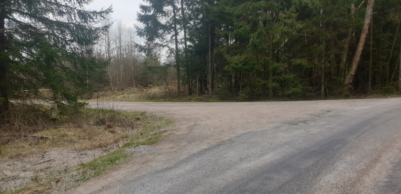
![]() After 1 km on this point you can turn left to take the shortcut via the Ängabäck water powerplant. There is a gate, but you can go there by foot or by bike. If you want to go via Råstorp just follow the mainroad for 1,5 km.
After 1 km on this point you can turn left to take the shortcut via the Ängabäck water powerplant. There is a gate, but you can go there by foot or by bike. If you want to go via Råstorp just follow the mainroad for 1,5 km.
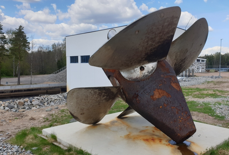
At the powerplant of Ängabäck you will find this old turbine;
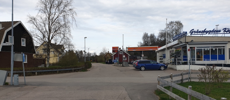
![]() But we will follow the straight ahead till your reach the crossing at he Gränsbygdens supermarket (there's a big store on the other side). Turn left and on the main road take another left towards the bridge.
But we will follow the straight ahead till your reach the crossing at he Gränsbygdens supermarket (there's a big store on the other side). Turn left and on the main road take another left towards the bridge.
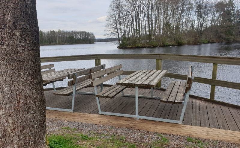
![]() Before the bridge you'll find this nice picknick place on your right.
Before the bridge you'll find this nice picknick place on your right.
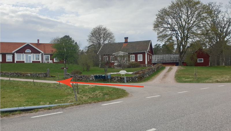
![]() After the bridge take a left, see arrow below.
After the bridge take a left, see arrow below.
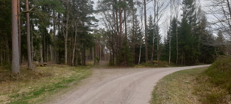
When you a uphill take a right at the point below.
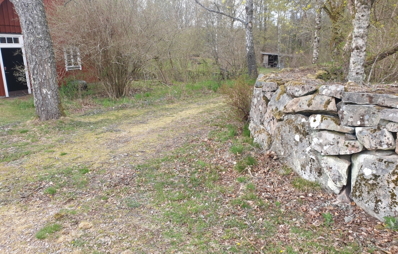
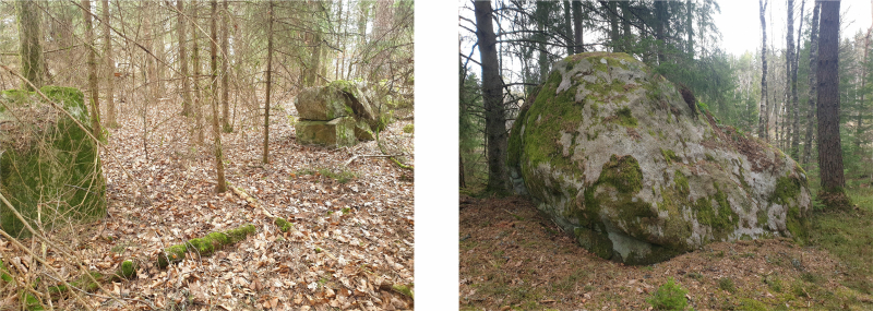
Follow this lovely path. On your left you see a stone wall (gate) of a farmfield from long time ago. On your right this big stone.
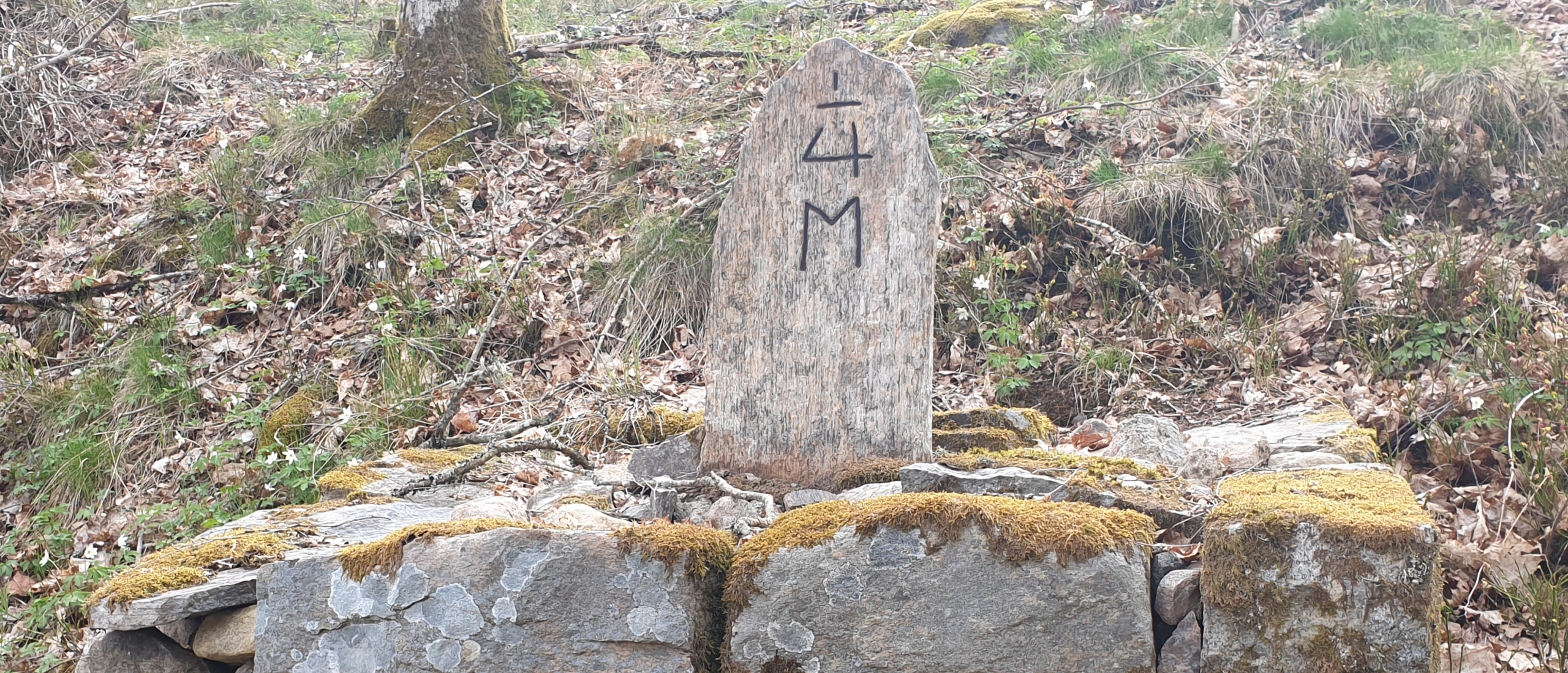
When you reach the road turn left and follow the road 4 km untill you reach ![]() Fredsstenen (Minesstenen) to your left. Turn left here and follow the path for 3 km untill you reach the dam.
Fredsstenen (Minesstenen) to your left. Turn left here and follow the path for 3 km untill you reach the dam.
End of the route. Did you like it or have any suggestions? Please leave a comment below.
Ivo
![]() In the case you would do the route in the opposite direction, this is the point where you would enter the road above (ADD FOTO)
In the case you would do the route in the opposite direction, this is the point where you would enter the road above (ADD FOTO)
![]() Here on point 11 on the map i tried to friend the route on the dottet line on the map, to make an extra leap through the woods. But after the hunting post i completely lost track and ended up walking with my bike through swamps and bushes
Here on point 11 on the map i tried to friend the route on the dottet line on the map, to make an extra leap through the woods. But after the hunting post i completely lost track and ended up walking with my bike through swamps and bushes
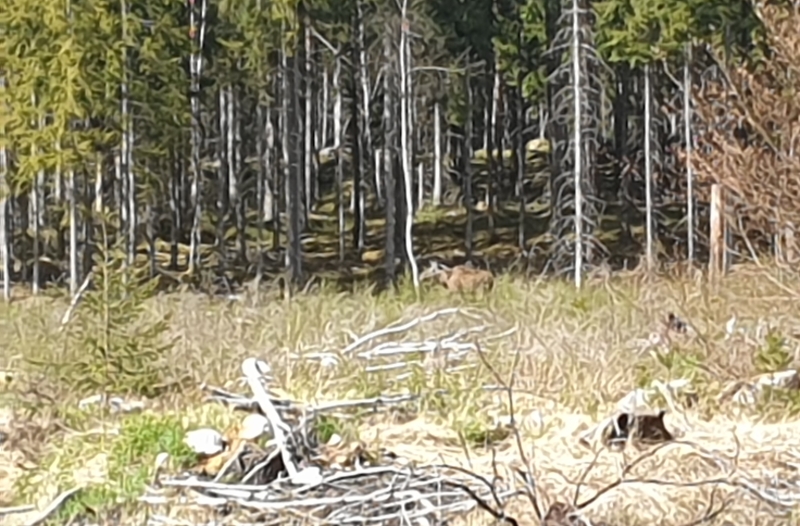
But on the way back i saw this Moose from the big road. It saw me but kept eating for about 10 minutes.